Training with the Train
Tamarack Ottawa Race Weekend is the biggest multi-day race event in Canada, drawing in thousands of out-of-town visitors and 200,000 spectators. OC Transpo is your best choice to get to the start line with easy options to pay your fare with O-Payment to using one of the many O-Train Stations just minutes from the event.
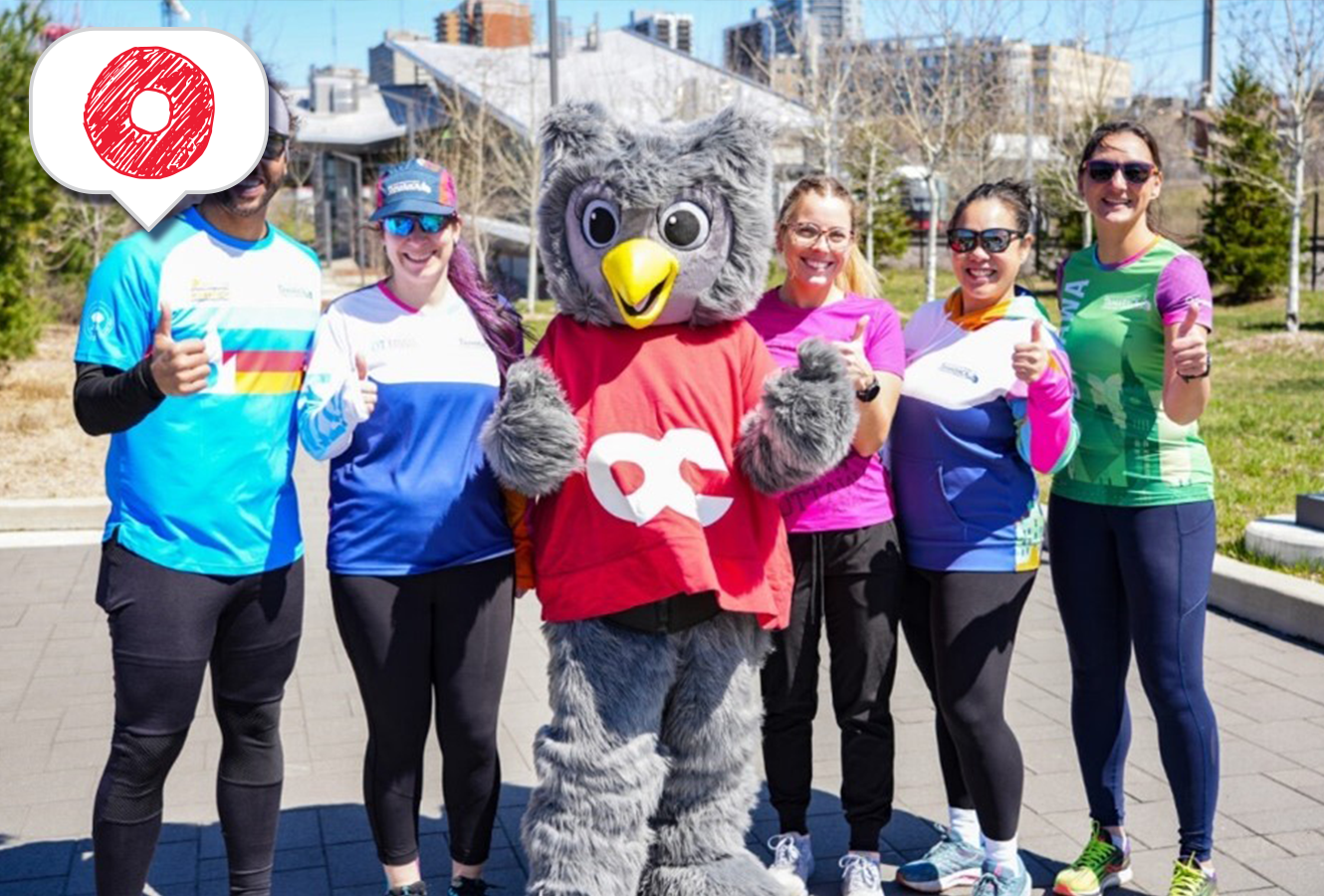
If you’re one of the 35,000 runners taking part, your training is almost complete! After logging many kilometres, you may be looking to change things up.
Have you ever considered that an O-Train Line 1 station could be a perfect start or end point for your next run?
The Next Stop Blog is here to provide some inspiration on how you can take advantage of the O-Train to travel to new running destinations. Here’s our guide on how you can “train with the train.”
Why train with the O-Train?
O-Train Line 1 runs from Tunney’s Pasture Station in the west, through downtown, to Blair Station in the east. Along the way, you can access one of the most extensive pathway networks in North America – perfect for cycling, walking and of course, running! The newly extended O-Train Line 2 runs 19 kilometres south from Bayview Station to Limebank Station in Riverside South. In addition to the new trains, tracks, and stations, this new O-Train extension added two new pedestrian bridges, and multiple signalized crossings.
Use our Travel Planner or download the Transit app to discover a new part of the city. With OC Transpo, you can enjoy the benefits of changing up your running routine and run at your own pace. All rides include a minimum 90-minute transfer window so there’s no rush. Take your time and feel free to walk-run!
You've got your playlist on your phone or smart watch; did you know you can pay your fare with those devices too? With O-Payment, you can tap your credit card, debit card or mobile wallet at fare readers on buses and fare gates at O-Train Line 1 stations.
Route 1 “Tour Bus Trot” - Bayview Station to Parliament Station (5 kilometres)
This 5-kilometre interprovincial route runs between Parliament and Bayview stations. It will take you past Parliament Hill and guide you through the cobblestoned roads of downtown Gatineau and back. Along the way, you’ll traverse the Ottawa River and take in the Canadian War Museum and LeBreton Flats – a great way to see a bit of the National Capital Region and some prime photo locations when posting your run online.

Route 1 “Tour Bus Trot” – Bayview Station to Parliament Station (5 kilometres)
Route 2 “The Canaler”– Bayview Station to Tremblay Station (10 kilometres)
This 10-kilometre route offers the opportunity to enjoy a run along the famous Rideau Canal, a UNESCO World Heritage Site. Running between Bayview and Tremblay stations, you’ll travel through Ottawa’s Little Italy neighbourhood, Dow's Lake, Lansdowne Park, the University of Ottawa campus and across the Rideau River. Most of this route is on a multi-use pathway that has minimal stops, features water fountains when in-season, and gives you a preview of the Tamarack Ottawa Race Weekend full marathon course.

Route 2 “The Canaler”– Bayview Station to Tremblay Station (10 kilometres)
Route 3 “The end to ender”– Tunney’s Pasture Station to Blair Station – (20 kilometres)
This 20-kilometre route is a scenic way to venture through Ottawa and get bragging rights for running from one end of Line 1 to the other. Saunter past Dow’s Lake, the home of the Canadian Tulip Festival, and take in the sights of Lansdowne Park before making your way through the grounds of one of the oldest institutions of higher education in Canada, St. Paul’s University. Be prepared to stop for Canada geese when running along the Ottawa River.

Route 3 “The end to ender”– Tunney’s Pasture Station to Blair Station – (20 kilometres)
Route 4 – “Panda Pace” – Bayview Station to uOttawa Station (11.3 kilometres)
It’s not just the Panda Game that brings together uOttawa and Carleton University. Ottawa’s two largest universities are connected not only by the O-Train, but an incredible network of pathways. You don’t have to be a Raven or a Gee-Gee to enjoy this route which takes you through Little Italy, Dow’s Lake, the Rideau River, and both of Ottawa’s universities.
Starting at Bayview Station, run south along the Trillium Line Pathway. At Corso Italia Station, you’ll be able to take advantage of a new signalized crossing as you travel across Gladstone Avenue. Cross Carling Avenue and take in the sights of the Arboretum and Dow’s Lake. Once you arrive at Hartwells Locks, cross over the Rideau Canal and travel along Library Street to Carleton Station. From here, travel south towards the brand new Rideau River Pedestrian bridge. If you want to catch your breath, take a break and snap a photo of a train crossing over the Rideau River. If you need water or washrooms, Vincent Massey Park has you covered.
From here, continue running east along the Rideau River Eastern Pathway until you arrive at the Hurdman Bridge. Follow the multi-use pathway towards Lees Station to begin the home stretch. From here, it’s an uphill run next to O-Train Line 1 before you arrive at uOttawa Station.

Route 4 – “Panda Pace” – Bayview Station to uOttawa Station (11.3 kilometres)
Route 5 – “The Sawmill Sprint” – South Keys Station to Mooney’s Bay Station and back (8.5 kilometres)
Looking to focus on your pace and escape the hustle and bustle of downtown? This tranquil running loop has one road crossing and takes you past South Keys, Greenboro, Walkley and Mooney’s Bay stations. With gentle rolling hills, great views of Line 2 trains, and multiple benches to rest, this is a great route to put your training to the test.
Use the travel planner or Transit app to get to any of the stations along this route or park at Greenboro Park & Ride. If you start from South Keys Station, take the Sawmill Creek Pathway north towards Mooney Bay Station. On your journey, you’ll run past the Juno Beach Memorial Bridge and the Sawmill Creek Wetland Facility. When you arrive at the Brookfield-Sawmill Pathway, take a left. If you’re looking for a training photo, take a selfie with the new rail flyover that allows Line 2 trains to seamlessly cross over the VIA Rail tracks. Time it right and get a train in the shot.
Once you arrive at Mooney’s Bay Station, turn around and run back towards South Keys Station. When you arrive at the pond near Greenboro Station, take a left for a change of scenery and finish your run strong as you cross the finish line at South Keys Station.

Route 5 – “The Sawmill Sprint” – South Keys Station to Mooney’s Bay Station and back (8.5 kilometres)
Plan your race weekend travel with OC Transpo
Skip traffic, forget about parking and avoid road closures by using O-Train Line 1 to travel to and through the downtown core. With three O-Train stations within a 15-minute walk from the start line, OC Transpo is the most convenient, accessible and eco-friendly way to get to and from the event safely.
O-Train Lines 1 and 2 will run as scheduled on Saturday, May 24 starting at 6 am and 6:30 am respectively. On Sunday, May 25, O-Train Lines 1, 2 and 4 will open early at 5 am ahead of the 7 am start of the marathon.
If outside the downtown core, there are many Park & Ride lots across Ottawa that offer free parking for attendees using transit. Paying your fare is easy and convenient with O-Payment. All fare readers on buses and fare gates at O-Train stations accept credit card, debit card and mobile wallet options such as Apple Pay and Google Pay.
Race participants can also take advantage of O-Train Line 2 when traveling to pick up race kits at the Tamarack Ottawa Race Weekend Running and Fitness Expo being held at the Carleton University Fieldhouse between May 22 and 24.
No matter the distance that you’re running, OC Transpo is here to take you there.
Do you have a running route that takes advantage of transit? Let us know by emailing [email protected]
